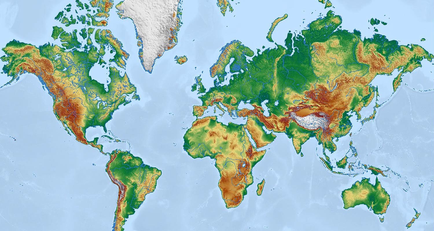
According to TechCentral, the familiar Mercator world map distorts how people picture relative sizes and distances, even though engineers, surveyors and satellite operators long stopped using global Mercator for professional work. The report contrasts that practice with classrooms, where the projection remains common, and frames the gap as a lingering source of geographic misunderstanding rather than a technical standard for modern navigation or mapping.
AI summary. Verify with the original source.
Read full story at TechCentral ↗
Listen
Unlock audio summaries, audio summaries, AI chat, Wikipedia facts, and ad-free reading.
$3.99 / month · cancel anytime
Go PremiumBackground facts
Unlock wikipedia facts, audio summaries, AI chat, Wikipedia facts, and ad-free reading.
$3.99 / month · cancel anytime
Go PremiumSimilar stories
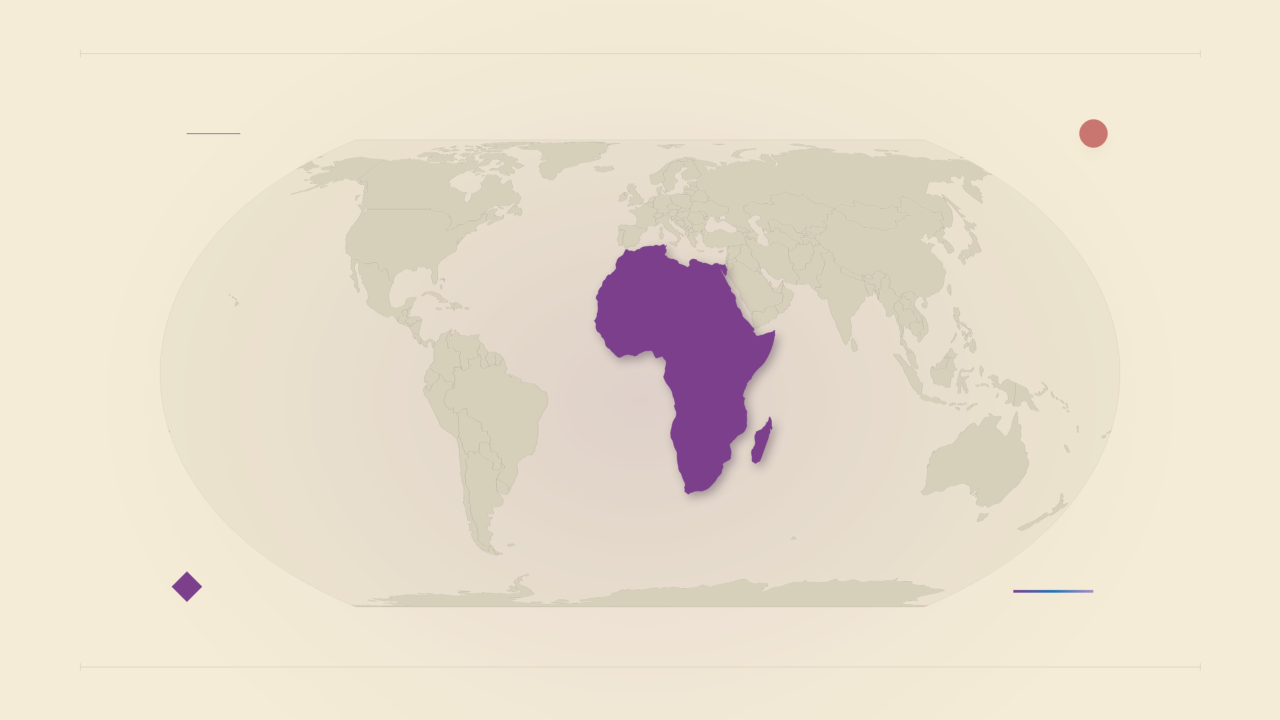
The UN General Assembly voted 164 to 1 in favour of adopting equal-area world maps instead of the long-dominant Mercator projection, with the United States casting the sole opposing vote. The Mercator map, created in the 16th century, has been criticised for distorting the relative sizes of continents, shrinking regions like Africa while enlarging areas near the poles. Despite the UN's decision, Tech-ish reports that Silicon Valley's mapping platforms continue to shape how much of the world views geography.
Tech-ish·September 5, 2026 at 2:14 PM
The UN General Assembly voted 164 to one on Friday to endorse an African-led resolution encouraging wider use of equal-area world map projections, according to SoftPower News. The measure promotes projections such as Equal Earth, which are intended to represent continents’ relative sizes more accurately than commonly used maps. The report frames the vote as overwhelming support for showing Africa’s true scale, but does not detail implementation or whether the resolution is binding.
SoftPower News·September 7, 2026 at 6:00 AM
The United Nations General Assembly has adopted an African-led resolution, dubbed 'Correct the Map,' aimed at addressing geographical distortions in commonly used world map projections. The resolution was passed on September 4, with 164 countries voting in favour, one against, and six abstaining. According to Kenya Insights, the move could see countries like Kenya represented more proportionately on world maps, correcting distortions that shrink the apparent size of Africa and other regions near the equator.
Kenya Insights·September 5, 2026 at 9:55 AM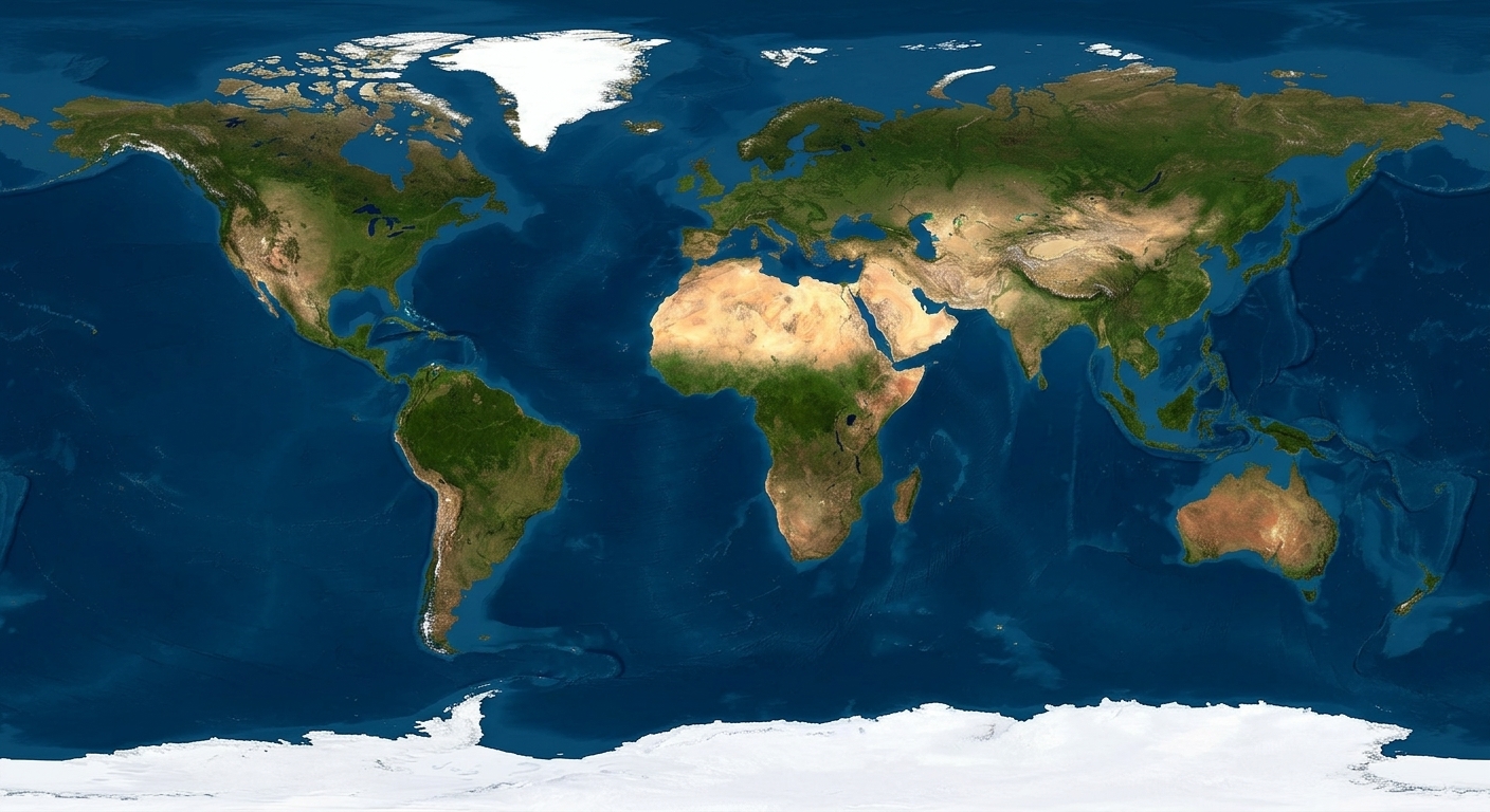
The United Nations General Assembly has adopted a Togo-led resolution titled "Correct the Map," with 164 countries voting in favour, according to BellaNaija. The resolution promotes the use of equal-area map projections, such as the Equal Earth map, as alternatives to the traditional Mercator projection, which is widely criticised for distorting the relative sizes of continents, particularly shrinking Africa. The vote reflects broad international support for addressing these cartographic distortions.
BellaNaija·September 5, 2026 at 7:46 PMHistorian Dr Elise Mitchell is re-examining the early history of smallpox inoculation across the Atlantic slave trade, arguing that the world has spent centuries forgetting Africa's role in the history of immunisation. According to the report, West African societies practised inoculation—a precursor to vaccination that deliberately provoked immunity to smallpox through managed exposure to the virus—long before Europeans adopted the technique. The piece, written by Maya Prabhu, highlights how this African contribution to medicine has been overlooked.
HEJNU (UG)·September 7, 2026 at 1:46 PM
The article from Al Jazeera discusses the challenges faced by international players and fans in accessing the World Cup due to increasing visa denials and border restrictions. It raises concerns about whether football's premier event can maintain its global appeal amidst these obstacles.
Al Jazeera·June 23, 2026 at 6:08 PM